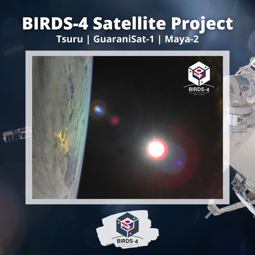
On July 3, a tropical depression above the Philippines was observed by PAGASA while Typhon Fabian consequently entered the Philippines area of responsibility on July 16.
In between those dates (July 11), we have captured a portion of the earth where the Philippines and Japan are located. A build-up of clouds covering the landmasses was noticeable. This is shown in the picture captured by the BIRDS satellite. A part of the sea is also visible reflecting the sun.
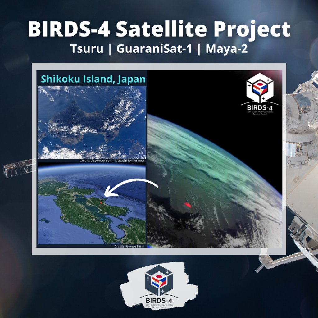
Taken on Christmas Day of 2021, we have captured one of the main islands in Japan: Shikoku Island.
Shikoku (四国, literally “four provinces”) is one of the five main islands of Japan. Shikoku is the second-smallest main island after Okinawa. [1]
One can notice a distinct feature of the island as it has a pointed headland known as Cape Muroto. The coastlines are inhabited while most parts are terrain and vegetation.
For comparison, a photo posted by Astronaut Soichi Noguchi on his Twitter page (upper left) [2] shows the island clearly while a 3D render in Google Earth (lower left)[3] shows its location in Japan.
[1] “離島とは(島の基礎知識) (what is a remote island?)”. MLIT (Ministry of Land, Infrastructure, Transport, and Tourism) (in Japanese). Ministry of Land, Infrastructure, Transport, and Tourism. 22 August 2015. Archived from the original (website) on 2007-07-13. Retrieved 9 August 2019. MILT classification 6,852 islands(main islands: 5 islands, remote islands: 6,847 islands)